Los Angeles • Land and custom-home planning
Buying Land in Los Angeles? Check Buildability Before Planning Your Custom Home
A practical way to investigate the parcel, access, planning, ground conditions and services before making your next commitment.
Before buying land for a house in Los Angeles, investigate whether your intended home can work on that particular parcel. Confirm the actual jurisdiction, the parcel records, access rights, planning constraints, physical conditions and utility requirements. Then connect unresolved questions to the purchase or design decision they could change.
A residential zoning label, an assessor parcel number, a visible driveway or a utility pole nearby is a starting point for questions. None supplies the full evidence needed to plan a custom home. A flat lot can have difficult access or service issues; a sloped lot needs a review of its actual conditions rather than an assumption that it is either impossible or straightforward.
You do not need a fully designed house to start useful due diligence. You do need a clear description of the home you want and a team that can investigate the important unknowns. Use the Los Angeles lot buildability evidence log alongside this guide to request documents, assign questions and record what remains unresolved.
Explore the guide
Identify the parcel and the agency that governs it
Start with the advertised address, assessor parcel number and any legal description supplied by the seller. Check that all documents refer to the same property. If the listing includes multiple parcels, ask the team to identify them individually and explain which land the proposed home would use. Avoid letting an attractive aerial image stand in for the actual property description.
Confirm whether the site is in the City of Los Angeles, another incorporated city or an unincorporated area. The responsible planning and building agencies must be established before applying rules found online. Los Angeles County Public Works begins its permit workflow with a service-location step to identify the appropriate agency. A Los Angeles mailing address does not settle that question.
Keep parcel identity, ownership and buildability separate
An identifier helps you find records; it does not answer every question those records raise. City Planning’s CP-4110 zoning-assessment form separately requests a legal description, assessor parcel number, legal lot-cut date, affidavits, easements and hazard or overlay information. The practical lesson is to request and review the relevant supporting documents rather than stop at an APN.
Ask the appropriate agency and advisers what evidence is needed to establish the parcel’s status for your proposed project. If the seller refers to a “legal lot,” request the supporting record and have its relevance confirmed. If an old plan shows a home, ask what was actually approved, for which parcel and scope, and what the current project would require.
Look for a history, even when the lot is empty
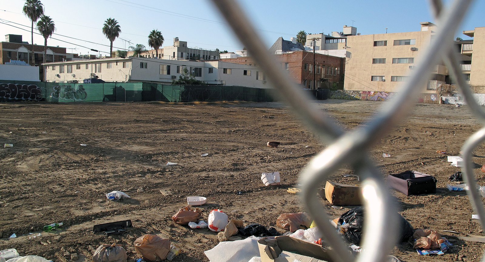
For City of Los Angeles properties, LADBS PRISM supplies department-issued construction, permit, inspection and enforcement records. A vacant site may have relevant records from a prior building or proposed project. Request the documents that could explain existing improvements, removal work or unresolved questions.
Read the document status as well as its title. An issued permit and a final inspection are different records. An absence of online documents does not establish unrestricted development rights. Where the history is incomplete, ask what further records search or agency inquiry is appropriate for this purchase.
Test the intended home against the usable site
Write a short home program before asking whether a lot is suitable. Include the rooms and relationships you need, entry and parking priorities, outside space, privacy and any important level changes. Describe which requirements you can adjust and which would make the purchase unsuitable if they could not be achieved.
Bring that program to the planning review. “Can I build a house?” is less useful than asking whether a particular arrangement can be investigated within the parcel’s constraints. A lot may be interesting for one type of home and a poor fit for your needs. Resolving that difference early is more valuable than drawing a beautiful home that does not belong on the site.
Use maps to frame the right questions
For a City of Los Angeles parcel, City Planning’s zoning search guidance explains how ZIMAS can be searched by address or assessor parcel number and used to review zoning, overlays and related information. Save the relevant property information with its source and review date in your working file.
Ask the design and planning team which rules apply to the intended use and building envelope. Discuss height, yards, usable floor area, parking and the relationship to the street as relevant to the proposal. If a hillside, coastal, historic or other overlay appears, identify the additional question it raises and who will resolve it. Do the same for trees, grading or other site conditions that may affect the concept.
A map flag should produce a question, not an automatic conclusion. Likewise, the absence of an obvious flag is not a full review. Ask staff or the responsible professional to explain what has been checked and what remains outside that screening.
Ask for a fit study before full design
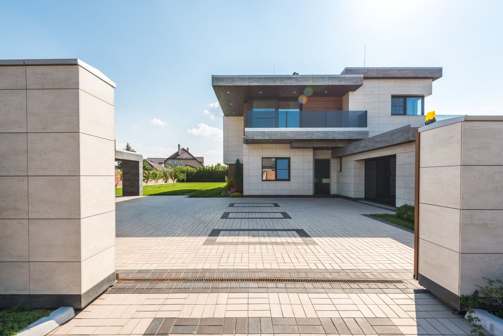
An early site-fit study can show the relationship among a possible house, access, outside space and the constraints identified so far. Ask what survey or other information the designer needs to make that study useful. Keep uncertain boundaries, service routes and ground assumptions visible rather than letting a clean drawing make them look established.
For example, a concept might place the main living area where you want the best garden connection, but the team still needs to investigate the driveway route or drainage arrangement. Record that dependency. The concept is helping you discover a question; it has not answered it just by drawing the preferred solution.
Make site tradeoffs visible to the household
Imagine a household whose priority is a useful entry-level bedroom and a garden that connects directly to the living room. A preliminary concept might achieve the room count by placing more of the house at a different level, leaving the garden connection less convenient. Another arrangement might preserve that connection but change the parking or outside space. Neither sketch should be judged by room count alone.
Ask the designer to explain the tradeoff in everyday terms: where people arrive, which rooms they cross, which spaces share a level and what outside area remains useful. Identify whether the compromise comes from a confirmed constraint or an assumption still being investigated. That distinction tells you whether further study might change the choice.
Also describe what you are willing to change about the brief. A smaller workspace, a different room relationship or a less elaborate outdoor arrangement may be acceptable; an entry arrangement that defeats the reason for moving may not be. Clear priorities let the team investigate meaningful alternatives instead of trying to fit an inflexible drawing onto every lot.
For City projects, LADBS identifies new buildings as work requiring approved building plans. Treat seller-provided sketches, zoning screens and preliminary concepts according to their actual status. Confirm the approvals needed for your proposed home instead of describing preliminary material as a permit.
Separate legal access, physical access and construction access
A road or track visible in a photograph answers only part of the access question. You need to understand the recorded rights, the physical route and the suitability of that route for the proposed use. Keep those questions separate so that confidence in one does not conceal a gap in another.
| Access question | Evidence or review to request |
|---|---|
| Recorded legal access | Relevant title documents and easements, with interpretation by the appropriate title or legal adviser. |
| Physical access and boundaries | A site visit and appropriate survey information showing the route in relation to the parcel. |
| Access for the proposed home | Design and agency review of the intended driveway, entry and applicable emergency-access requirements. |
| Construction access and staging | A practical logistics review of deliveries, equipment, material storage and the work area. |
The California Department of Real Estate’s title reference explains easements and the existence of exceptions in title-policy offers. Have your title professional or legal adviser interpret the actual recorded documents and exceptions. A neighbor’s use of a drive does not establish your rights, and a general explanation of title insurance does not establish your coverage.
For the physical questions, California’s engineering and surveying consumer guide describes surveying services that include determining boundaries, locating easements and preparing topographic maps. Ask a properly authorized professional what scope is appropriate. Fence lines, online parcel outlines and listing dimensions should not be substituted for that assessment.

Walk the proposed construction route
Ask the construction team to think beyond a passenger car reaching the site. Where would deliveries arrive, unload and turn? Where could equipment work and materials be stored? Which portions of the route are on your land, public land or someone else’s property? Identify any permissions or agency questions that still need resolution rather than assuming adjacent space is available.
Consider how the finished home would be reached during and after site work. A house location that looks attractive on a plan may require a different access arrangement than the buyer expected. Have the team explain the relationship among access, grading, retaining and the usable garden before the concept becomes a purchase assumption.
Do not infer an emergency-access requirement from another property’s project or from a stock road image. Ask the governing agency and project professionals which requirements apply here and what evidence is needed to evaluate the proposal.
Investigate slope, soils, drainage and hazard questions
Start by recording what you can observe without trying to diagnose it: the slope, visible changes in level, retaining walls, existing drainage features and areas where water appears to collect. Give the team the available survey, geology, geotechnical and grading documents. Ask what additional site investigation is needed for the intended home.
A level-looking surface does not resolve ground conditions. A sloped site does not tell you the appropriate foundation or retaining solution. These questions need a scope of professional investigation related to the proposed building and site work. Avoid choosing a foundation system, estimating retaining needs or pricing grading from a listing photograph.
Use hazard maps as screening tools
The California Geological Survey’s EQ Zapp screens mapped fault-rupture, liquefaction and earthquake-landslide zones. CGS explains that the mapping cannot substitute for required site investigations. Being outside a mapped zone does not establish the absence of geologic risk, and being inside one does not by itself decide the proposed project’s outcome.
For a City of Los Angeles site, LAFD’s Fire Zone page provides map and related guidance links. Screen the actual parcel, then ask which applicable requirements affect its proposed construction. Keep insurance questions separate and discuss them with the appropriate adviser; a map alone cannot promise availability or terms.
Ask where water would go
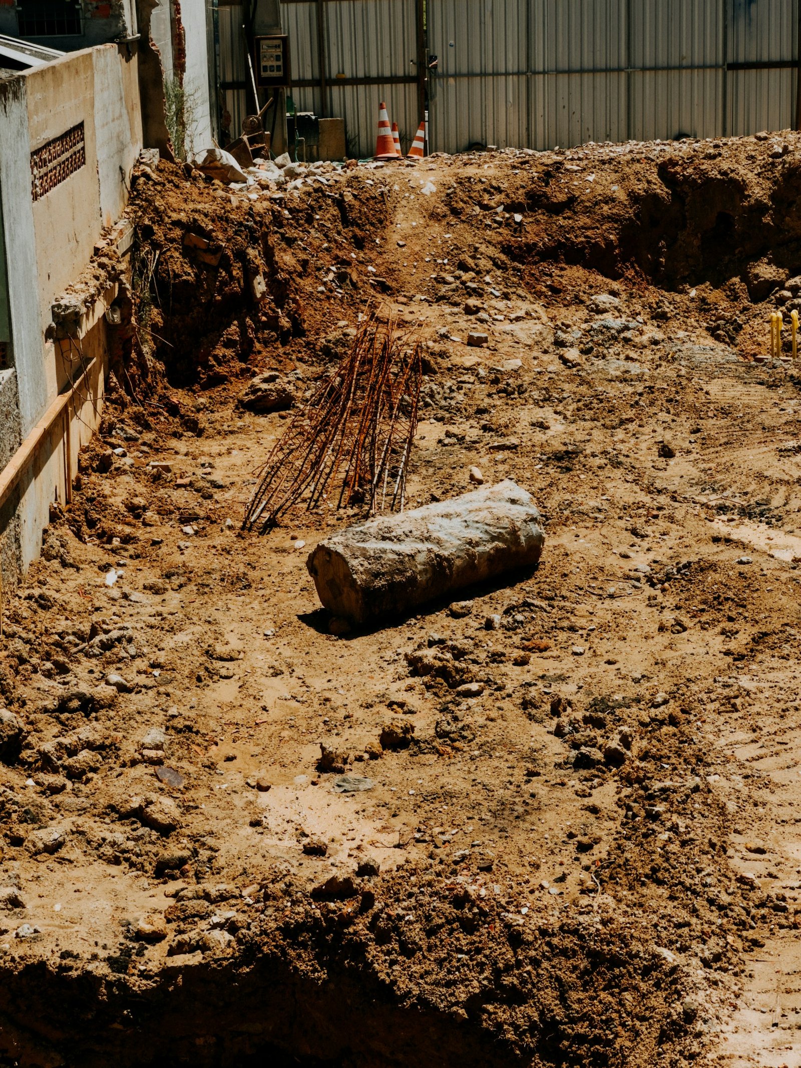
Have the civil or other appropriate design professional explain the proposed drainage approach and what further information it needs. Ask how the house, access and outside areas relate to the site levels. Identify any unresolved question about retaining structures, existing drainage routes or work beyond the parcel.
The useful early answer may be a list of investigations rather than a finished solution. That list should explain what each investigation can establish and which decision it affects. If changing the house position could substantially change the site-work concept, review those options together instead of pricing the house and land preparation as unrelated exercises.
Older reports deserve a careful applicability review. Ask whether the report addresses this parcel, whether it examined the proposed building area, which assumptions it used and what a qualified professional or agency would require for the current proposal. “A soils report exists” is helpful document information; it is not a conclusion about the home you want to build.
Get service answers from the actual utilities
List the provider and current answer for each service the project needs. Separate water, wastewater, electricity and any other proposed services rather than recording “utilities nearby.” Ask about the service route, capacity review, work on and off the parcel, permits, charges and the information needed for the next response.
Water and electricity need their own planning
Where LADWP is the provider, its Construction Services portal separately routes water and electric planning, including temporary and permanent services. Use the actual provider’s process for the parcel rather than assuming LADWP serves every Los Angeles-area property.
For a proposed underground electric service, LADWP’s electric-service FAQs direct feasibility questions to a service representative and identify plans such as a site plan, load schedule and one-line drawing. The practical point is that a nearby line is not the same as a service commitment for your design. Ask the team what information the provider needs and what remains provisional until it reviews that information.
For water, ask the relevant provider what must be investigated for the intended home and site. Record any unresolved connection route, meter or service questions as open. Do not let an unpriced or unanswered service item silently become a zero in the project comparison.
Check wastewater service explicitly
In the City of Los Angeles, the Bureau of Engineering’s sewer-availability guidance explains that a mapped nearby sewer may still be unavailable and addresses availability, capacity checks, connections, permits and fees. Distance alone does not confirm that your proposed house can connect.
Ask the responsible agency and professionals to establish the appropriate wastewater route. If sewer service is unresolved or an alternative is being discussed, identify the approvals and investigations needed before relying on that alternative. A seller’s general statement about sewer or septic is a question to verify, not a design basis.
Request the scope behind a service answer
A helpful response states what was reviewed and what it does and does not establish. For example, “provider identified, application information requested” is a different status from a project-specific written service scope. Record requirements for offsite work, access or easements where identified, and route them to the appropriate advisers.
No universal connection price or completion period can be inferred from those entry-point resources. Ask for the project’s applicable process and current information, then carry remaining uncertainty into the next purchase or design decision.
Request documents that answer the important questions
Use one request list, organized by who holds the information. Not every parcel will have every document, and an unavailable document is not automatically a defect. What matters is identifying which missing information must be obtained or investigated for your decision.
| Request from | Useful starting documents or answers | What to review |
|---|---|---|
| Seller or seller’s representative | Parcel identifiers, available surveys, reports, plans, approvals and service correspondence. | Which parcel, project and assumptions each document addresses. |
| Title professional and appropriate legal adviser | Relevant title materials and the underlying documents for access and easement questions. | Recorded rights, exceptions and questions requiring interpretation. |
| Planning and building agencies | Property information, relevant case and permit records, and the review path for the proposal. | Applicable jurisdiction, current status, constraints and additional investigations. |
| Survey and design professionals | Appropriate boundary, topographic and early site-fit information. | How the intended home, access and outside areas relate to the actual site. |
| Ground and civil specialists | Applicable existing reports and a proposed investigation scope. | What is established about the site and what remains to be evaluated. |
| Actual service providers | Project-specific service information and next submission requirements. | Availability, route, scope, conditions and unconfirmed items. |
Ask for complete documents where possible, including plans, attachments and conditions referenced in a summary. A cover page can tell you a report exists while omitting the limitations that matter to your project. Keep the original files and note which professional reviewed them.
If two records appear inconsistent, describe the conflict instead of choosing the more convenient answer. An older drawing and a current map might refer to different scopes or conditions. Ask the appropriate reviewer to reconcile the difference and state the basis for the response.
Discuss purchase terms, investigation access, decision deadlines and any proposed contractual protection with your real-estate or legal adviser. This checklist does not create a contingency or tell you when to remove one. Its purpose is to make the unresolved construction and property questions visible to the people advising you.
Three hypothetical parcel situations
A flat infill lot with an unanswered sewer question
A buyer finds an apparently level lot between existing homes. The listing says services are close, and a sketch shows the desired house. The buyer’s first log separates the planning fit from wastewater availability and the service route. The next request is a project-specific agency and provider response, not a detailed interior design package.
If the answer adds site or offsite work, the buyer can review that scope with the intended house and overall commitment. The neighboring homes and attractive sketch have not supplied that answer.
A sloped lot with an older report
Another buyer receives a previous geotechnical report and assumes the ground work has been settled. The proposed house now sits in a different part of the site. The team asks a qualified professional to review the report’s scope, location and applicability, and identifies what additional investigation the new concept needs.
The buyer records that review beside the access and drainage questions. The route remains under investigation rather than being declared viable or impossible from the slope or report title.
A site reached by a visible shared drive
A third buyer can walk to a site along an existing drive and sees no obvious physical obstacle. The evidence log keeps recorded access rights, boundaries, proposed-home access and construction logistics in separate rows. The buyer obtains the relevant documents for appropriate title and legal interpretation while the design team reviews the physical proposal.
A positive answer in one row does not close the others. The useful next step is to resolve the missing evidence before relying on the drive in the home concept or purchase decision.
Use the evidence log to decide what must happen next
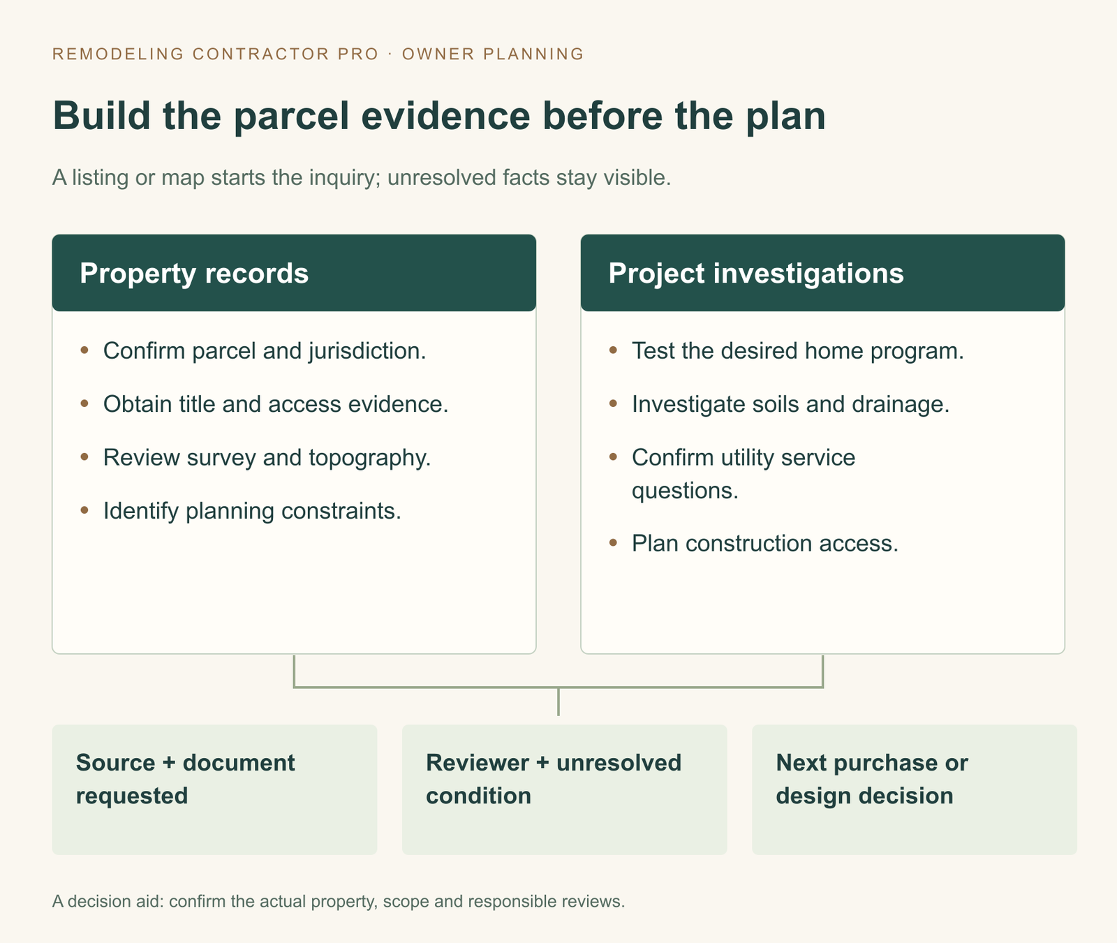
The lot buildability evidence log contains twelve question rows, covering parcel identity, access, survey, zoning, home fit, ground conditions, services, hazards, logistics, approvals and conditions to resolve before commitment. For each row, record the document or official source, what is known or unresolved, and the responsible reviewer or next action.
Write answers in a way that preserves their limits. “Zoning screen saved; designer to review proposed home and overlays” is useful. “Buildable” is too broad if it only means someone found a residential zoning label. If a response depends on further plans or site work, include that dependency in the row.
Then identify which open questions could change the home, the site-work scope or the purchase decision. Prioritize those investigations before refining finishes. Keep smaller preferences in the brief, but do not let them distract from a question about access rights, service availability or the usable building area.
Use the worksheet’s print control to retain a working copy, or choose “View entered notes” to display a summary you can copy into your project records. Do not rely on the browser to save your entries automatically. Completing all rows does not establish legal or technical buildability. The value lies in the actual documents, qualified review and clearly stated unanswered conditions behind the entries.
Common questions before buying land in Los Angeles
Does residential zoning mean I can build the house I want?
It is a starting point for review. Test the proposed home against the parcel’s governing rules, overlays, access, physical conditions and services. The useful question is whether your intended outcome has been investigated, not whether a broad land-use label sounds compatible.
Does an APN prove a legal, buildable parcel?
Use the APN to identify and research the property. Obtain the relevant supporting documents and agency or professional review for legal-lot and development questions. The City’s zoning-assessment form separately requests several categories of property information beyond the APN.
Can online maps confirm legal access or ground conditions?
Use maps to locate questions and relevant records. Actual access rights need document interpretation, boundaries and terrain need appropriate survey information, and ground conditions need the applicable professional investigation. A screen cannot combine those separate tasks into a final conclusion.
Should I buy a full set of house plans first?
Start with the household program and enough preliminary study to investigate site fit and important dependencies. Ask the design team what information is needed next. Detailed plans based on unresolved access, service or ground assumptions may need substantial reconsideration when those answers arrive.
Bring a parcel and a clear home brief to the first discussion
Prepare the address and APN, listing materials, available survey and title documents, previous reports or plans, and a short description of the home you want. Include the most consequential unanswered questions from your evidence log. If the lot has not yet been purchased, explain which decisions and adviser discussions are still ahead.
Architectural planning can begin with the relationship between your program and the site information available. As the route becomes better supported, the custom-home timeline in Los Angeles explains how design, approvals and construction decisions connect.
For a conversation about new construction and custom homes in Los Angeles and nearby areas within RCP’s stated service radius, share your parcel and project goals. Start with the property and the home you need; use the first discussion to identify the evidence and investigation required for the next step.
Open the Los Angeles lot buildability evidence log
Los Angeles lot buildability evidence log
Track the source, status and next action for each parcel question. A map or listing is a starting point; a completed log does not establish legal or technical buildability.
Type into the fields or print a blank copy. Entries stay in this page and are not sent anywhere. They are not saved automatically. Use View entered notes to select and copy a summary, or print / save as PDF before closing or reloading.
On a small screen, scroll the table sideways to reach every field.
| Parcel question | Document / official source | What is known / unresolved | Responsible reviewer / next action |
|---|---|---|---|
| Parcel identity and actual jurisdiction | |||
| Recorded legal access and easements | |||
| Survey, boundaries and topography | |||
| Zoning and applicable overlays | |||
| Proposed home program and site fit | |||
| Slope, soils and geotechnical questions | |||
| Water and sewer availability / route | |||
| Power and other utility work | |||
| Drainage, hazards and environmental constraints | |||
| Construction access and staging | |||
| Approvals and associated investigations | |||
| Conditions to resolve before commitment |
Resolve before the next commitment
Your entered notes
Download a fillable PDF copy of the worksheet. Open it in a PDF reader that supports forms and save a copy after entering your information.